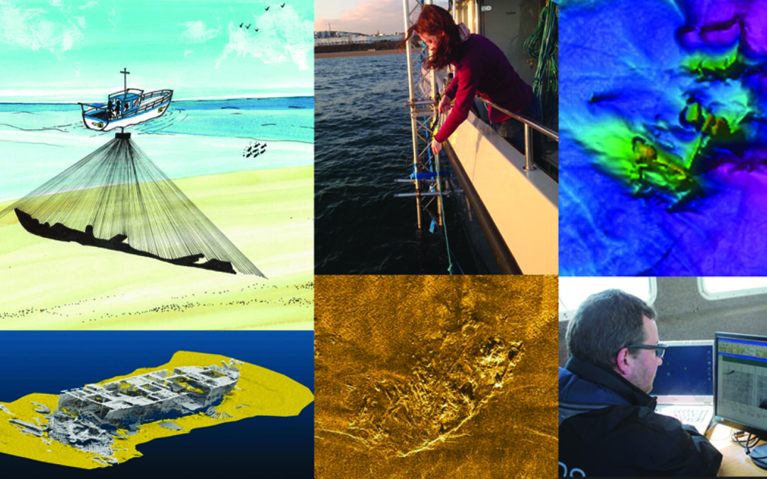
Historic England have commissioned MSDS Marine and Spectrum Offshore to produce the second edition of Marine Geophysics Data Acquisition, Processing and Interpretation first published in 2013.
It is the purpose of this guidance document to describe geophysical surveying techniques that can reveal information about the historic environment as might be encountered on, within and beneath the seabed around England.
A new edition of this guidance is now necessary as the UK is in a very active phase of marine planning and development and up-to-date information is required about the use of marine geophysical survey techniques and methodologies. In November 2020, the UK Government published The Ten Point Plan for a Green Industrial Revolution of which Point 1 is “Advancing Offshore Wind”. There is therefore a pressing need to produce an updated edition of Marine Geophysics Data Acquisition, Processing and Interpretation, so that survey campaigns conducted to support maritime development projects can reveal or otherwise demonstrate the presence of historic and archaeological sites and places.
Prior to the commencement of offshore development projects geophysical and hydrographic data is the primary dataset from which archaeologists can determine the presence, location, and extents of material of potential archaeological interest and recommend appropriate mitigation strategies based on this data. Ensuring that geophysical and hydrographic data is collected, processed, and interpreted to defined standards and specifications across the sector ensures that mitigation recommendations will be consistent and provide the highest level of protection for the historic environment.
The updated guidance will be aimed at all user groups including developers, surveyors, archaeologists, curators, early career professionals and students and will not only provide guidance for the offshore development sector, but will serve as a useful reference for those conducting geophysical surveys directed at archaeological sites as well as others conducting surveys to optimise the principle of ‘collect once, use many times’. The guidance will present all aspects of the data collection, processing and interpretation process from survey planning through to reporting. Each section will be written with each user group in mind with information being presented logically and coherently.
The new guidance is being developed with input of the whole sector through a targeted programme of stakeholder workshops, consultation and webinars. In Autumn 2021, the project team will be hosting an online workshop to gather information from the sector to feed into the guidance review. At present this is planned for November 25th 2020 so save the date! The workshop will act as a focus group discussion to explore issues in depth and to seek the views of stakeholders as well as to generate new ideas relevant to the guidance. Following the workshop an updated guidance document will be produced that will then go to the sector for consultation in early 2022.
The updated guidance will be presented to the sector in Spring 2022 through an online webinar that the team are proposing to run as Chartered Institute for Archaeologists Approved CPD.
Find out more here: https://msdsmarine.com/marine-geophysics-data-acquisition-processing-and-interpretation-second-edition/
If you would like to be kept updated with the progress of the project, or to be added to the list of stakeholders for consultation, please email info@MSDSMarine.co.uk

